-
![]()
Inspection & Asset Management
Utility inspections, roof/building inspections, solar panels, pipelines, and other infrastructure.
-
![]()
Surveying & Mapping
High-precision topographic surveys, land parcel mapping, contour generation, volumetric measurements.
-
![Progress tracking, stockpile measurement, site inspections, and documentation.]()
Construction & Site Monitoring
Progress tracking, stockpile measurement, site inspections, and documentation.
-
![]()
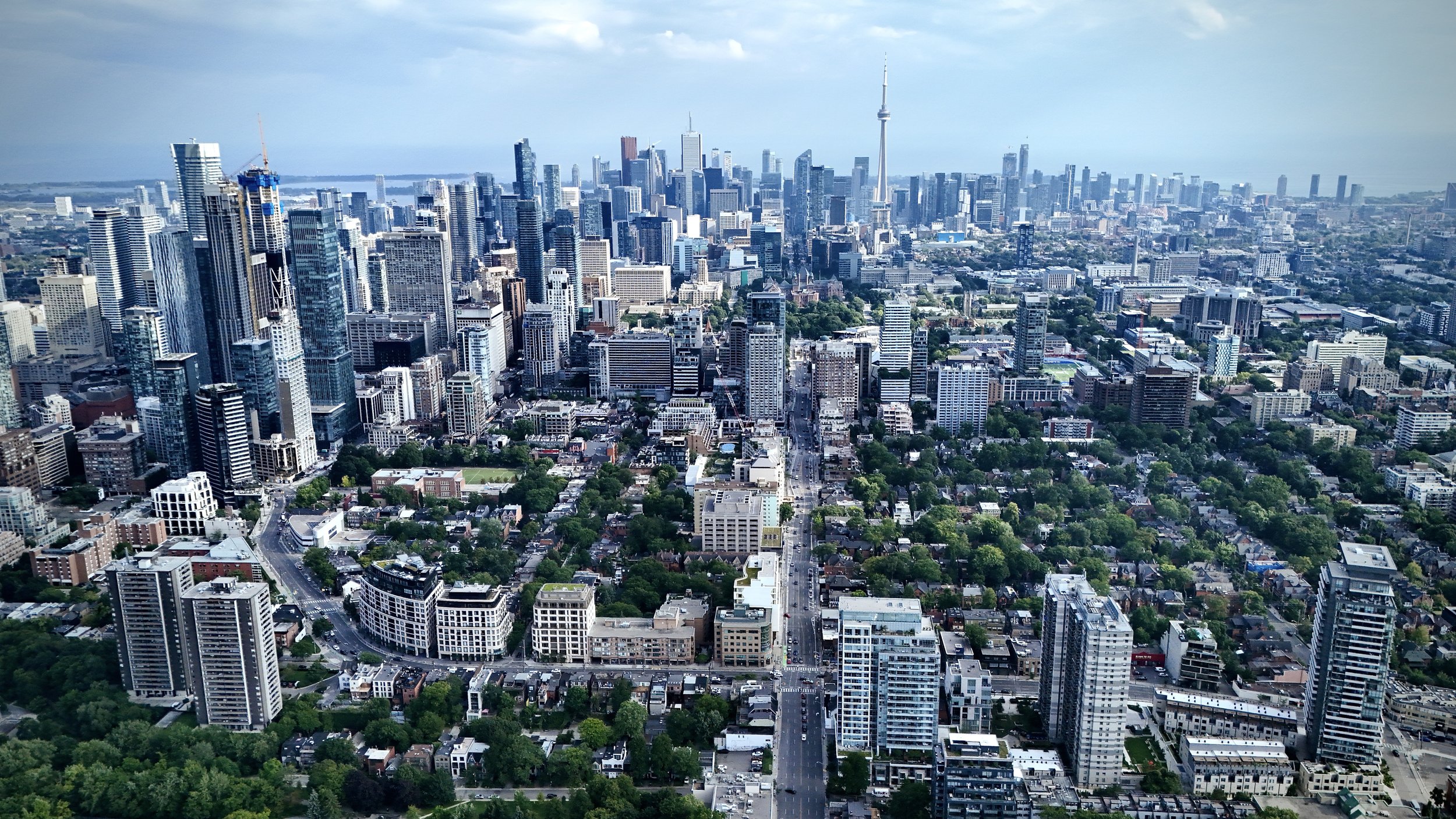
Aerial Photography & Videography
Marketing visuals, promotional media, real estate, and specialized cinematography with precision data overlay if needed.
-
![]()
3D Modeling & photogrammetry
Creating accurate 3D models of buildings, terrain earthworks, and infrastructure.
-
![]()
Agriculture & Environmental Monitoring
Create Digital twins used for , land management , vegetation mapping, and environmental assessments/comparisons/seasonal trends
-
![Automated drone-in-a-box technology providing rapid 3D modeling and site analytics—reliable data in hours.]()
DRONEALYTICS
Automated drone-in-a-box technology providing rapid 3D modeling and site analytics—reliable data in hours.


