
-
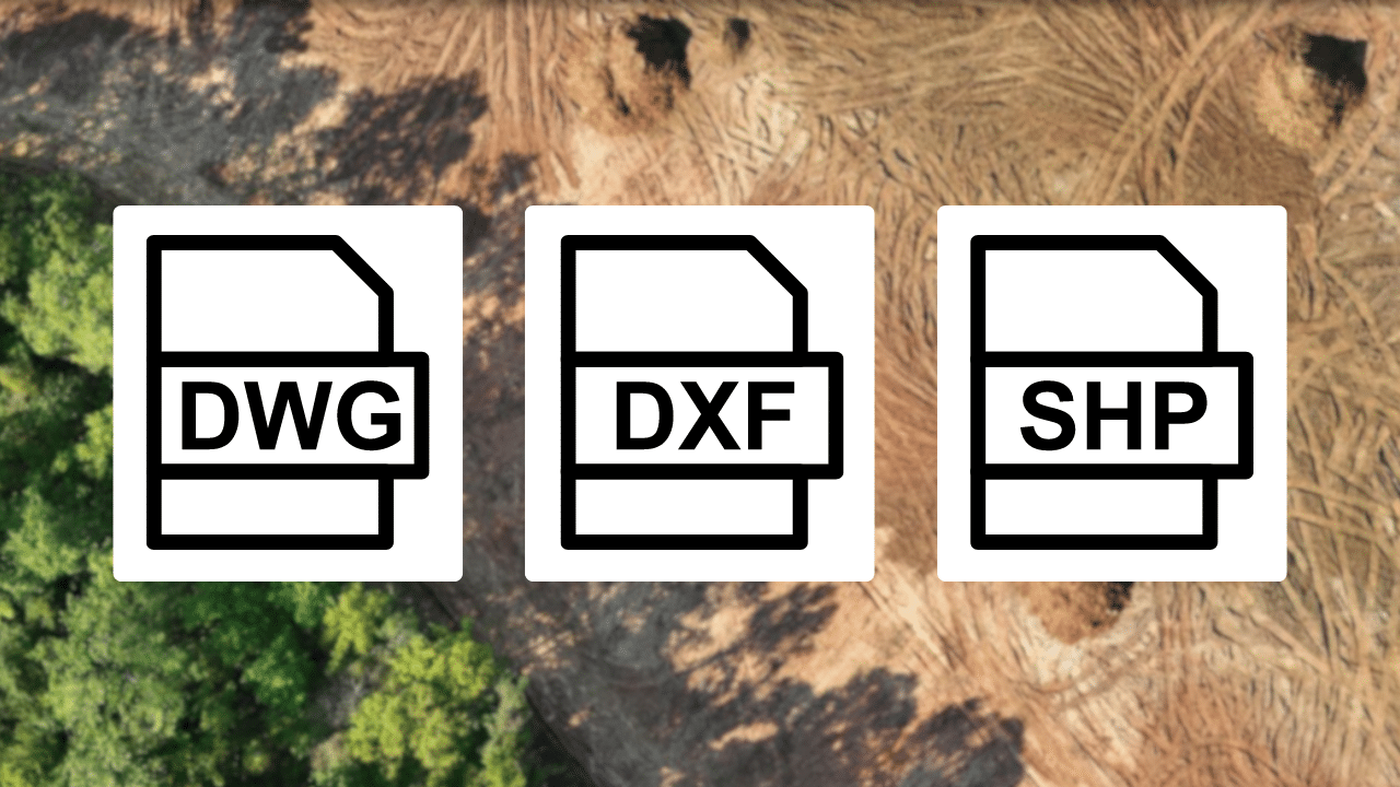
How to Understand DWG, DXF, & SHP Formats in Drone Topographic Mapping
“One of the main keys to successful drone topographic mapping will be understanding the differences between these file formats: DWG, DXF, and SHP. Each has its proper place in surveying and construction, from detailed design to large-scale geographic analysis. This article examines how to choose the right format in light of correct data processing and collaboration on teams across multiple platforms.”
-
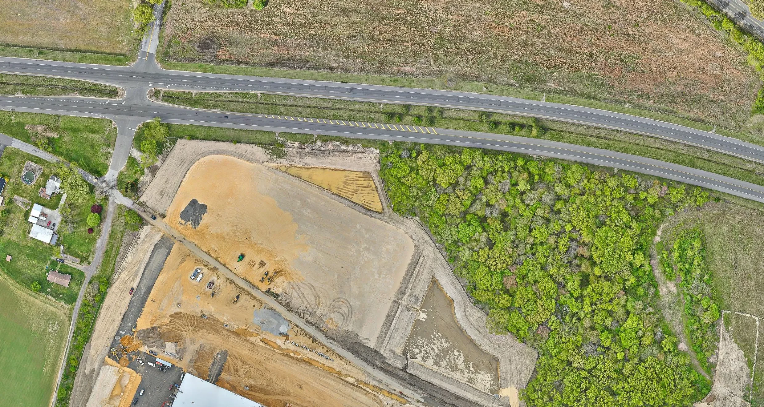
What is a GeoTIFF in Drone Surveying?
GeoTIFFs are important in drone surveying because they encode the image files with accurate geospatial information, such as GPS coordinates and elevation. This enables the mapping of and analysis of such GeoTIFFs with a high degree of accuracy across many diverse sectors like construction, land development, and environmental monitoring. Integration into GIS ensures that spatial assessments and decision-making are done accurately.
-
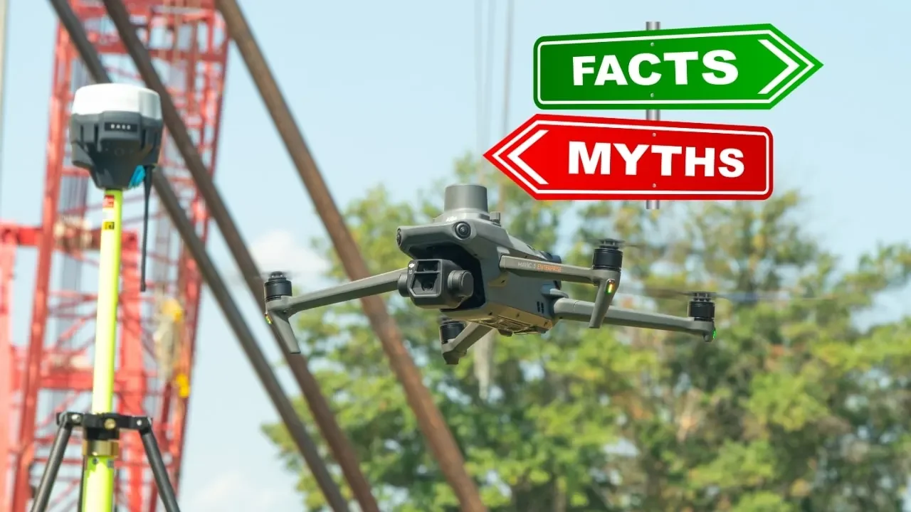
Addressing the Elephant in the Room: Top 5 Arguments and Myths Against Drone Surveying
Research suggests drones have improved productivity, cost-effectiveness, and timeliness on construction sites. Although land surveyors have expressed concerns regarding the reliability, accuracy, and long-term future of these tools, the technology remains popular. To instill confidence in the field, we’re addressing the top 5 arguments and myths against drone surveying.
-
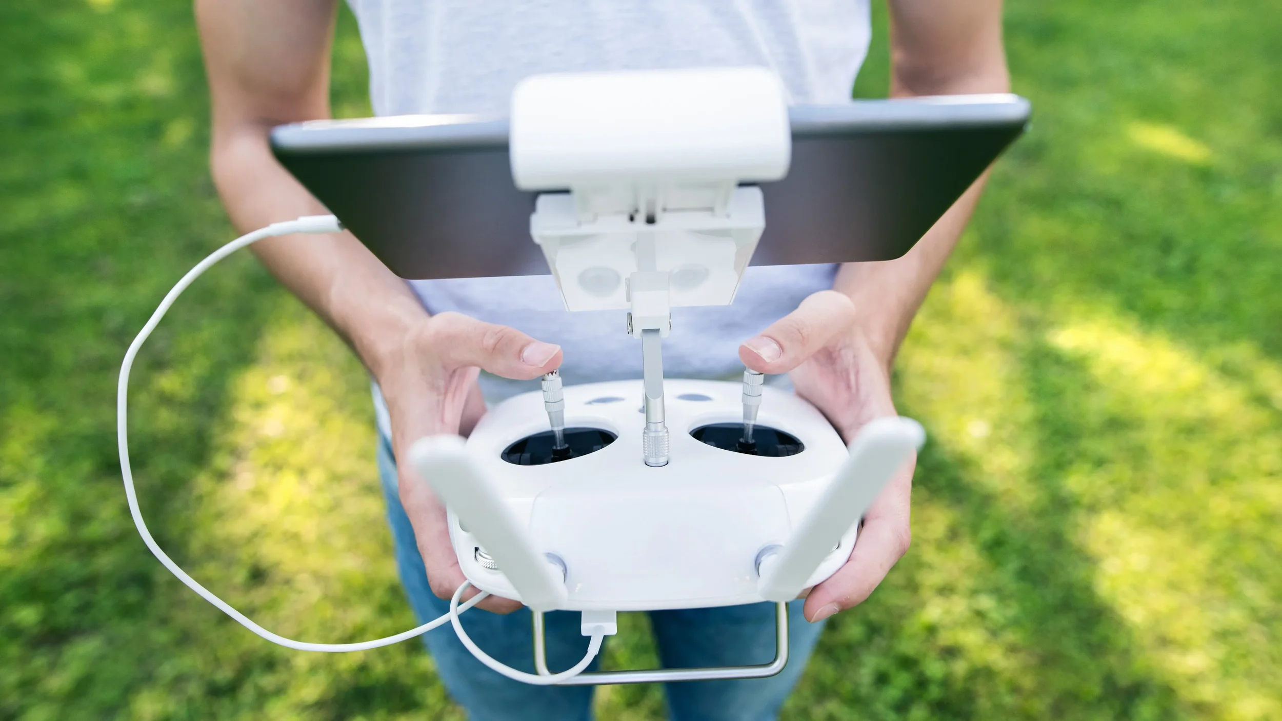
Top 5 Scams to Avoid When Hiring Drone Services
What should we know about the services you provide? Better descriptions result in more sales.Drones have revolutionized various industries, from real estate to agriculture, providing unparalleled perspectives and data collection capabilities for stakeholders and project managers. However, with the rise of drone technology comes the risk of encountering scams and drone service operators looking to take advantage of unsuspecting clients. Whether you’re a business owner, manager, or stakeholder, it’s crucial to be aware of the potential pitfalls when hiring a drone services company. Here are five common pitfalls to watch out for.
-

GEODNET 2026 Honoree in Mobile Devices, Accessories & Apps
GEODNET
2026 Honoree in Mobile Devices, Accessories & Apps
The GEO-MEASURE is a compact, handheld GNSS solution designed to deliver survey-grade, centimeter-level accuracy in the field. Combining portability with professional performance, this device ensures fast, reliable positioning for mapping, surveying, and precise data collection. With its lightweight design, the GEO-MEASURE is easy to carry and operate one-handed, making it a practical choice for field professionals who need accuracy without bulk. It supports all major constellations and signals, ensuring broad coverage and dependable performance in diverse environments. Whether used for construction, land management, or geospatial mapping, the GEO-MEASURE provides the precision needed for confident decision-making. Its robust design integrates high-accuracy GNSS with stable connectivity, enabling efficient workflows and minimizing downtime. Compact yet powerful, the GEO-MEASURE is the ideal handheld tool for professionals seeking accurate, efficient, and portable GNSS technology to support demanding field applications and reliable measurement tasks.